Satellite imagery reveals intensity of Israeli bombing of Lebanon


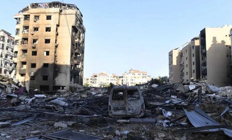
Israel’s intensified bombing campaign of Lebanon has caused more damage to buildings in two weeks than occurred during a year of cross-border fighting with Hezbollah, according to satellite-based radar data assessed by the BBC.
Data shows that more than 3,600 buildings in Lebanon appear to have been damaged or destroyed between 2 and 14 October 2024. This represents about 54% of the total estimated damage since cross-border hostilities between Israel and Hezbollah broke out just over a year ago.
The damage data was gathered by Corey Scher of City University of New York and Jamon Van Den Hoek of Oregon State University. They compared radar satellite images to reveal sudden changes in the height or structure of buildings which indicate damage.
Wim Zwijnenburg, an environmental expert from the Pax for Peace organisation, reviewed the satellite-based radar data and warned of the impact of Israel’s bombing.
“The Israeli military campaign seems to be creating a ‘dead zone’ in the south of Lebanon to drive out the population, and making it difficult for Hezbollah to re-establish positions, at the cost of the civilian population,” he said.
Cross-border hostilities between Israel and Hezbollah broke out after the armed Lebanese group started firing rockets in and around northern Israel in support of Palestinians on 8 October 2023, the day after its ally Hamas’s deadly attack on southern Israel.
Israel invaded southern Lebanon in a dramatic escalation on 30 September to destroy, it said, Hezbollah weapons and infrastructure in “limited, localised, targeted raids”.
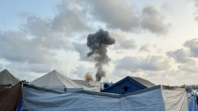
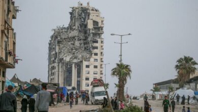
Satellite photos, radar imagery, and military records show recent Israeli bombardment in Lebanon has focused on the southern border region. It has also expanded to central and northern areas, including the Bekaa Valley and Beirut’s southern suburbs.
The Israeli army said it hit thousands of Hezbollah targets across Lebanon, including the capital, Beirut.


